The first comprehensive GPS-documented adventure route through Tanzania's most unexplored region. Every kilometer mapped, every community located, every opportunity identified.
From Iringa to Lake Tanganyika: A journey through the heart of the Southern Highlands
Starting point. Historic town, Isimila Stone Age site, gateway to the highlands.
Rolling tea estates, highland forests, and community interviews with tea farmers.
High-altitude farming communities,Diary Farmers, potato,Avacado ,pyrethrum cooperatives and Kissi Communities near Manda at Lake Nyasa in Ludewa.
The "Serengeti of Flowers" - high-altitude plateau with endemic flora.
Volcanic peaks, Kipunji primate habitat, conservation assessment.
Remote villages, game scouts, wildlife corridors.
One of Africa's tallest waterfalls, archaeological significance.
Final destination. Fishing communities, cross-border trade, expedition completion.
Five interactive layers with detailed information for travelers, investors, and communities
GPS-tracked route with waypoints, distance markers, and elevation data. Includes road condition notes, difficulty ratings, and scenic viewpoints.
Every community we engage with is pinned with profiles: economic activities, cooperative contacts, and documented investment opportunities.
National parks, forest reserves, and wildlife corridors. Includes notes on conservation initiatives, challenges, and community partnerships.
Investment-ready opportunities pinned directly to locations: agro-processing facilities, eco-lodge sites, community enterprise needs.
Fuel points, accommodation, repair shops, clinics, and emergency contacts—everything an adventure traveler needs for safe passage.
Geo-tagged photos and videos from the expedition, allowing virtual exploration before you even arrive.
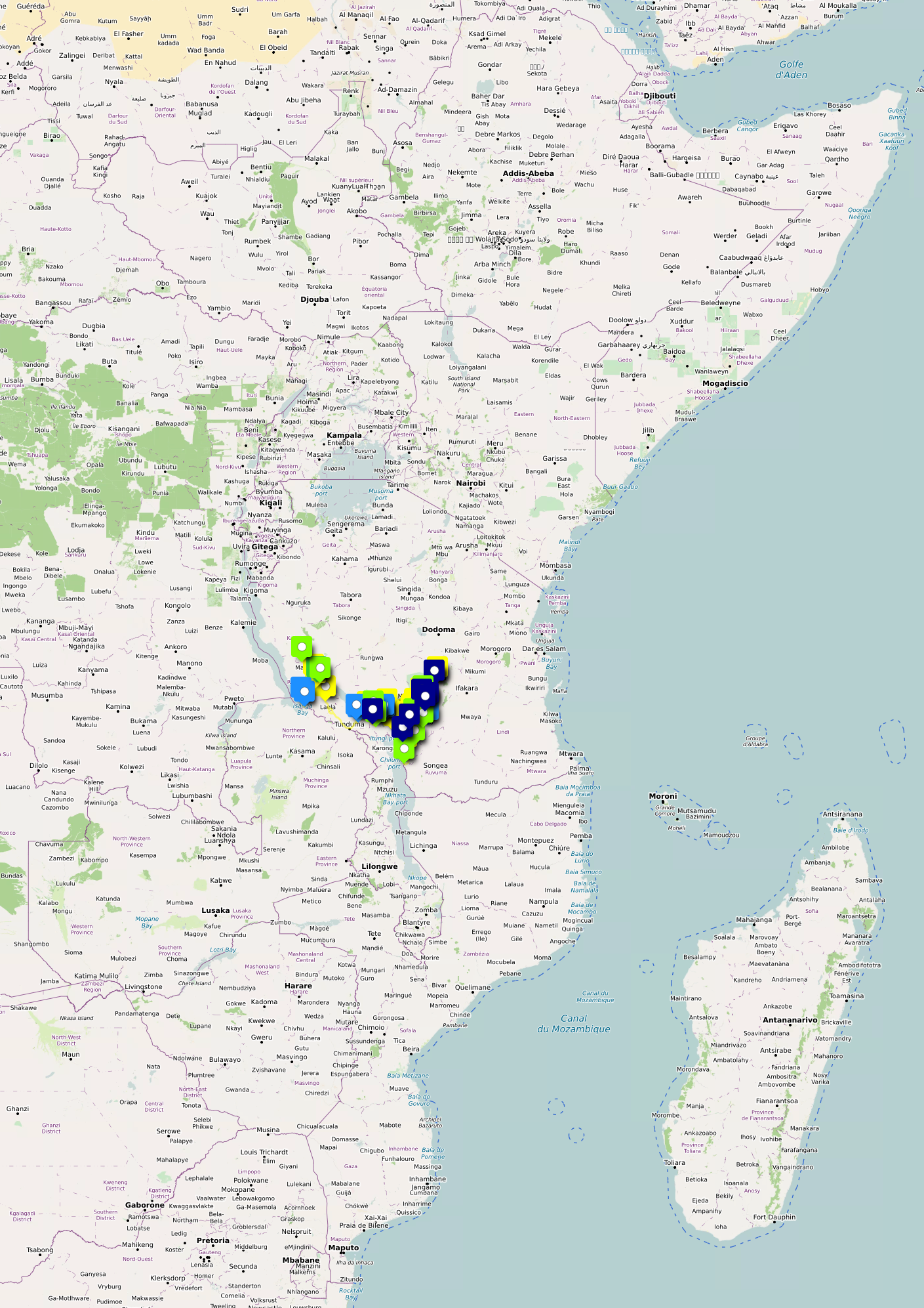
Our uMap is designed to be your complete guide to the Southern Highlands:
The map works on mobile devices and can be used offline with downloaded tiles.

All route data will be available for download after the expedition. Subscribe to be notified when GPS tracks and waypoints are released.
🗺️ Map powered by uMap and OpenStreetMap contributors. Open data licensed under ODbL.